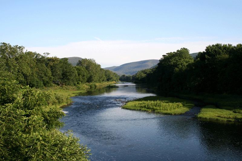
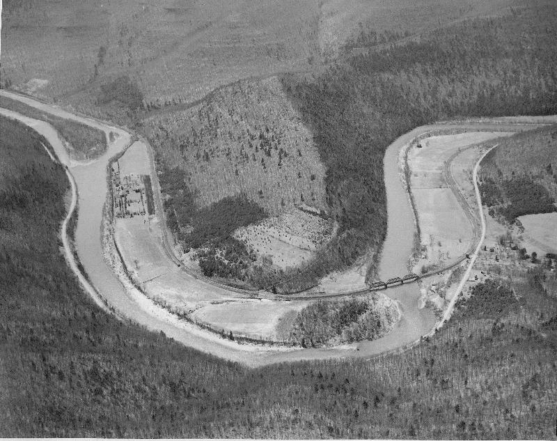
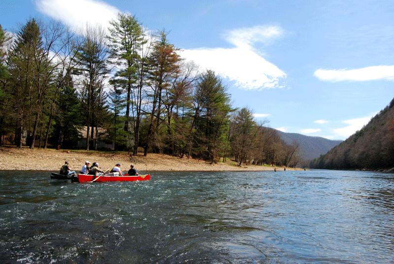
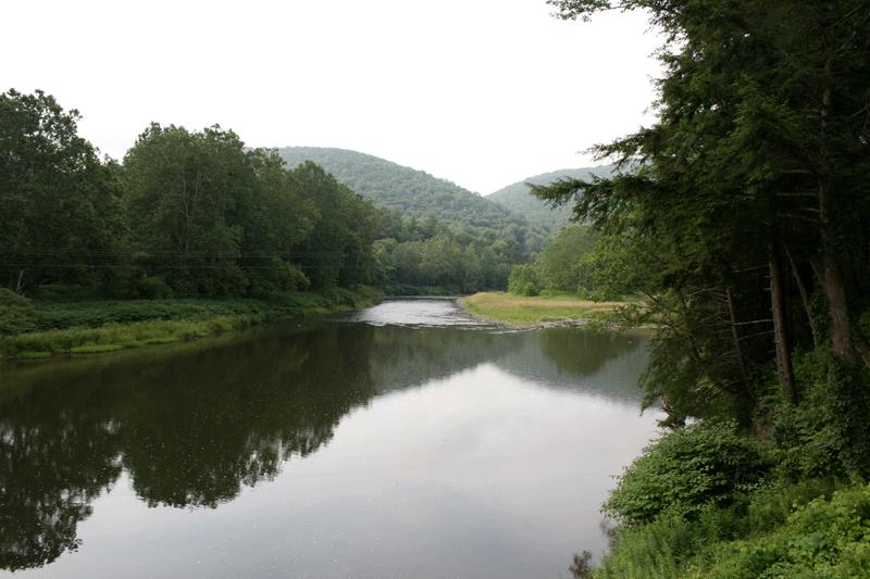
Pine Creek is one of Pennsylvania's most scenic and historic water trails. When not able to navigate the swift waters by canoe, native peoples walked an ancient footpath along the shore. Described as a "howling wilderness" by early pioneers, the Pine Creek Gorge and lower valley still offer an amazing natural experience to paddlers.
While navigating Pine Creek, one can't help but imagine what it must have been like some 200 years ago, given how spectacular it remains today. Historical accounts of the area describe huge pines and hemlocks, maybe 8 or 10 feet in diameter, and massive American chestnuts. The commercial value of those trees would bring signifi cant and sometimes devastating change to Pine Creek's shores.
Water-powered sawmills began to appear as early as the 1790s, and scores more steam-powered mills came and went with the various floods of the 1800s. Massive logs were muscled into the creek and individually floated to distant markets, while others were lashed into huge rafts that even had their own living quarters!
Wildlife abounded, too. Herds of elk grazed on the shores, and panthers prowled among the high rock outcrops. The pools were full of native brook trout, and American shad seasonally migrated from the Atlantic. Like the shad, each year hundreds of people return to the creek to capture the profound experience of flowing with cold, clean mountain water downstream to the ocean.


Planning Your Trip
Although Pine Creek can be paddled safely from Galeton, the Pine Creek Water Trail begins at the Big Meadows Access Area near Ansonia, Tioga County. Located closer to where Pine Creek plunges south into the Grand Canyon of Pennsylvania, and having adequate public parking, it's an appropriate place to begin.
Most paddlers start their journey at Ansonia, navigate the canyon, and then take out 17 spectacular miles later in Blackwell. This section takes about six hours to complete, but it can be done much faster or slower depending on the water level, boat types, paddling speed, stopping to fish, etc. There are state forest and private camping facilities in the area where paddlers can spend the night along the creek and then paddle on to points downstream for one, two, three or more days, depending on the distance you want to travel and the amount of exploring, fishing or sightseeing you'd like to do. Contact the Tioga or Tiadaghton State forests for camping information.
In the past few years, "recreational" kayaks have become popular among river trippers. Still, plenty of traditionalists prefer an open canoe (or raft) for journeying with spouses, gear, etc. Sturdy paddles are a must (plus a spare), and secured waterproof gear bags prevent soaked or lost clothing and equipment. Coast Guard-approved life vests are mandatory for all occupants, and wetsuits should be worn in springtime and fall when the water is cold.
If there is anything negative to be said about the experience of floating Pine Creek, surely it's the slight hassle of shuttling vehicles. Several boat and equipment rental businesses operate in the region that offer shuttle services for those renting equipment or without the means of planting a shuttle vehicle downstream. A fun option is to put a bicycle in your canoe and then ride it back upstream on the adjacent Pine Creek Rail Trail to reach your automobile.
Portions of text on this page from "Pine Creek Water Trail" by Jim Hyland (from May/June 2007 PA Angler & Boater magazine) and PA Water Trail brochure from PA Fish & Boat Commission


Current Pine Creek Water Measurements
Depending on the type of craft you are paddling (rafts are slow, kayaks are fast) as well as the strength and pace of the paddler, the mood of the creek, etc., people are able to move downstream at between 2 and more than 5 miles per hour. To rush the trip is to waste it, because the scenery will beg you to sit back and go with the flow.
Save the lounging for lazier water, however, because a few sections in the gorge approach Class III, which means that novice boaters need to stop, assess the situation and portage, if necessary.
Pine Creek's water levels usually begin to drop in June, but Mother Nature has the final say. Normally by mid- August, the tens of millions of trees in the forests of northcentral Pennsylvania are in stiff competition for a late-summer drink. Raindrops falling from hit-or-miss thunderstorms have little chance of passing through the gauntlet of thirsty roots and puckered soil. Consequently, the watersheds of the Susquehanna are able to contribute very little to the passions of paddlers. Heavy thunderstorms or tropical systems occasionally swell the creek enough to offer a few days of good late-summer or fall paddling.
By checking the USGS water level data for the gauge at Cedar Run (http//pa.waterdata.usgs.gov), boaters can view the creek's current water level. Readings between 2.5 and 3.5 feet are considered good, and below 2 means that you may scrape the bottom in some of the riffles. As you head south, the Pine takes water from Babb Creek, Cedar Run, Slate Run, Little Pine and many smaller streams, so scraping is less likely the farther downstream you venture. Read the water carefully.
Water depth
Water temperature
